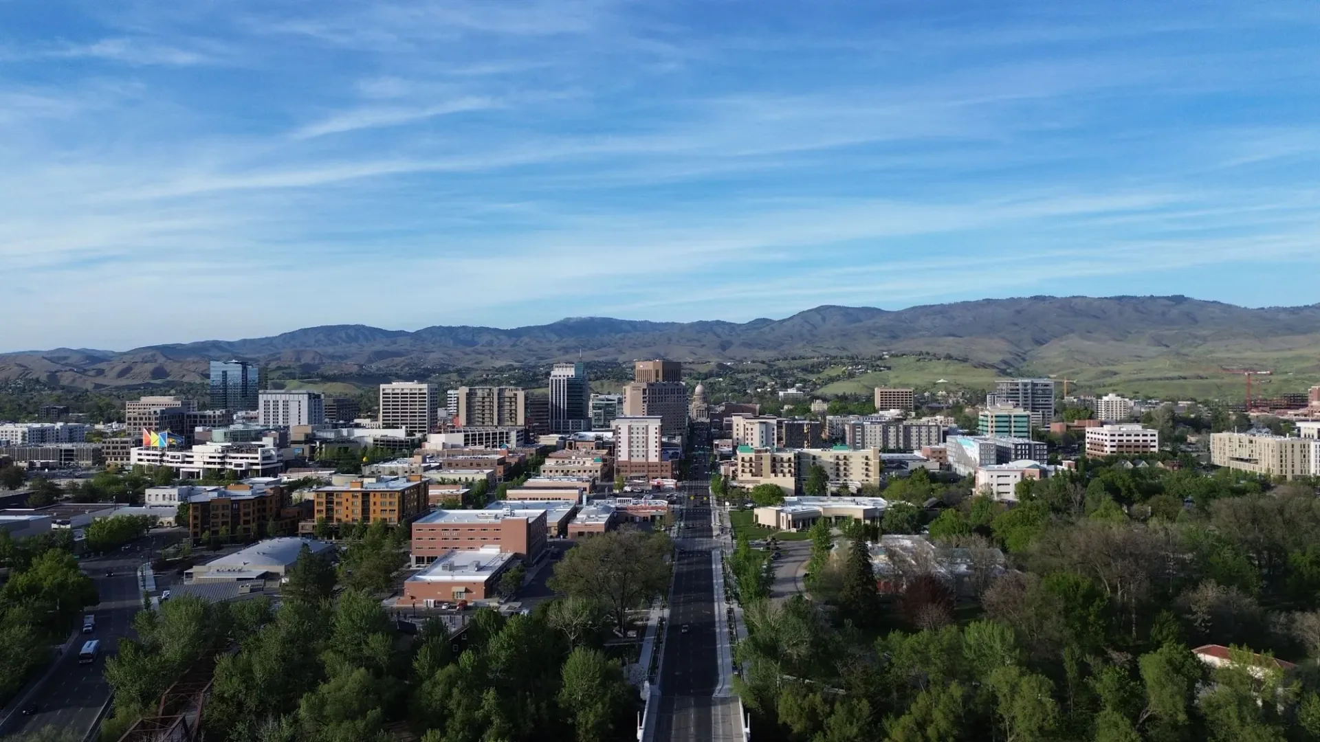
Southeast Boise, close to everything
Campus, groceries, a gym down the street, the Greenbelt, and the river. Here's what's around 2043 S Makar Ln.
Where is 2043 S Makar Ln?
In Southeast Boise, near Boise Avenue and Pennsylvania Street, southeast of Boise State University and south of the Boise River. It's part of Boise23, a townhome community in the Rockview Subdivision. ZIP 83706.
Eleven places, within three miles
Every pin sits where the place is on the map, with the river, the Greenbelt, and campus drawn in. The miles are the route from the front door.
- 1Gym on Parkcenter0.6 mi 14 min walk
- 2Albertsons on Broadway1.2 mi 4 min drive
- 3Boise River Greenbelt1.2 mi 9 min bike
- 4Albertsons Stadium1.6 mi 12 min bike
- 5Boise State University1.7 mi 14 min bike
- 6Bown Crossing1.8 mi 13 min bike
- 7Whole Foods Market1.9 mi 5 min drive
- 8Fred Meyer2.0 mi 6 min drive
- 9Idaho Botanical Garden2.3 mi 18 min bike
- 10Barber Park2.8 mi 19 min bike
- 11Idaho State Capitol2.8 mi 7 min drive
The river, the Greenbelt, and the foothills
Boise's best-known outdoor spaces start close to home.
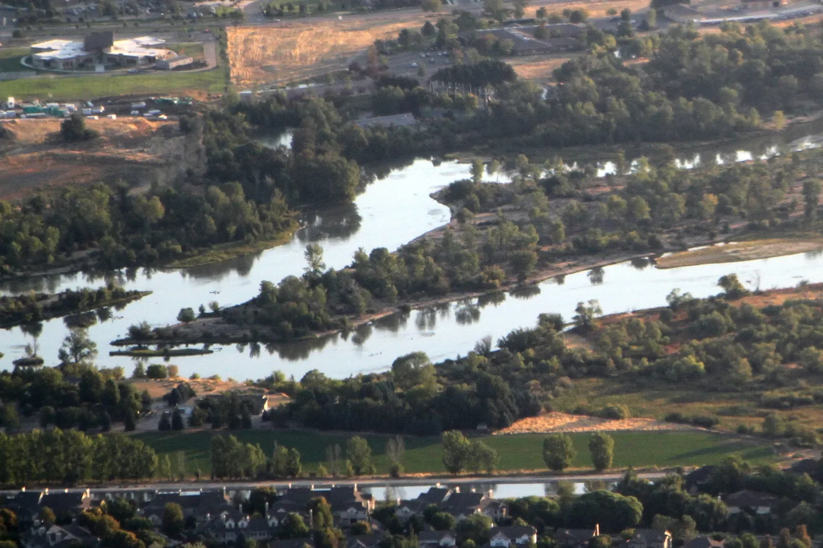
Boise River Greenbelt
A tree-lined pathway along both sides of the Boise River, for runs, rides, and the bike commute to campus or downtown.
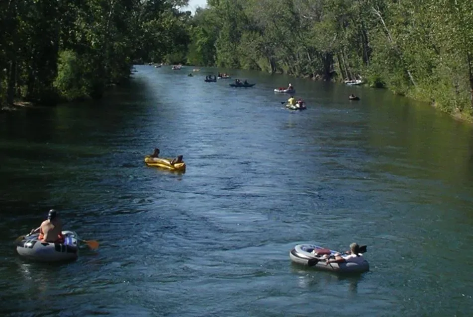
Float the Boise
Summer's favorite tradition: float from Barber Park to Ann Morrison Park in 2 to 3 hours, with shuttles back in season.
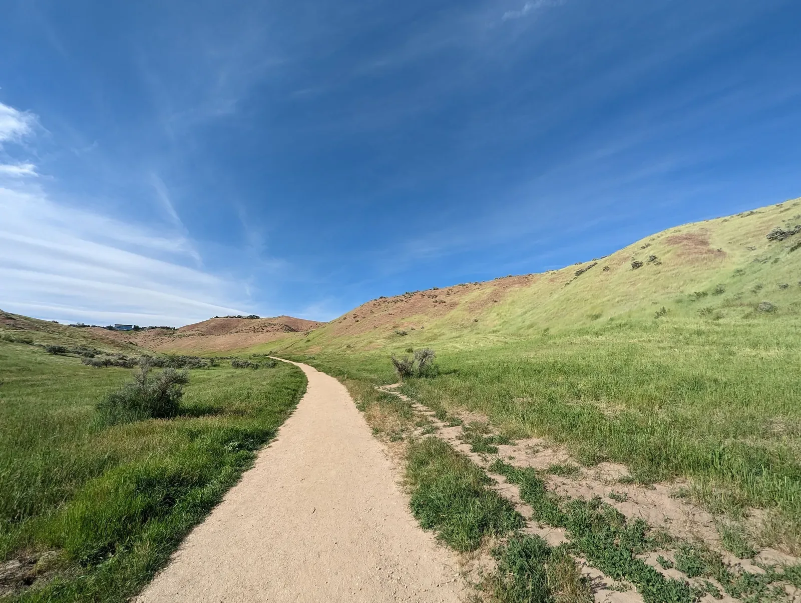
Ridge to Rivers trails
The foothills trail system above the city, for hiking, trail running, and mountain biking.
Sources: City of Boise Parks and Recreation (Greenbelt), Bureau of Land Management (Ridge to Rivers), Ada County Parks and Waterways floater guide (Boise River float). Distances from OpenStreetMap routes, October 2026.
Groceries and a gym, minutes away
Gym on Parkcenter
A full-service fitness club on Parkcenter Boulevard.
Albertsons
The full grocery store on South Broadway Avenue.
Whole Foods Market
On South Broadway, on the way to downtown.
Fred Meyer
Groceries, home goods, and fuel on South Federal Way.
Game days, class days, and nights out
A bike ride to campus
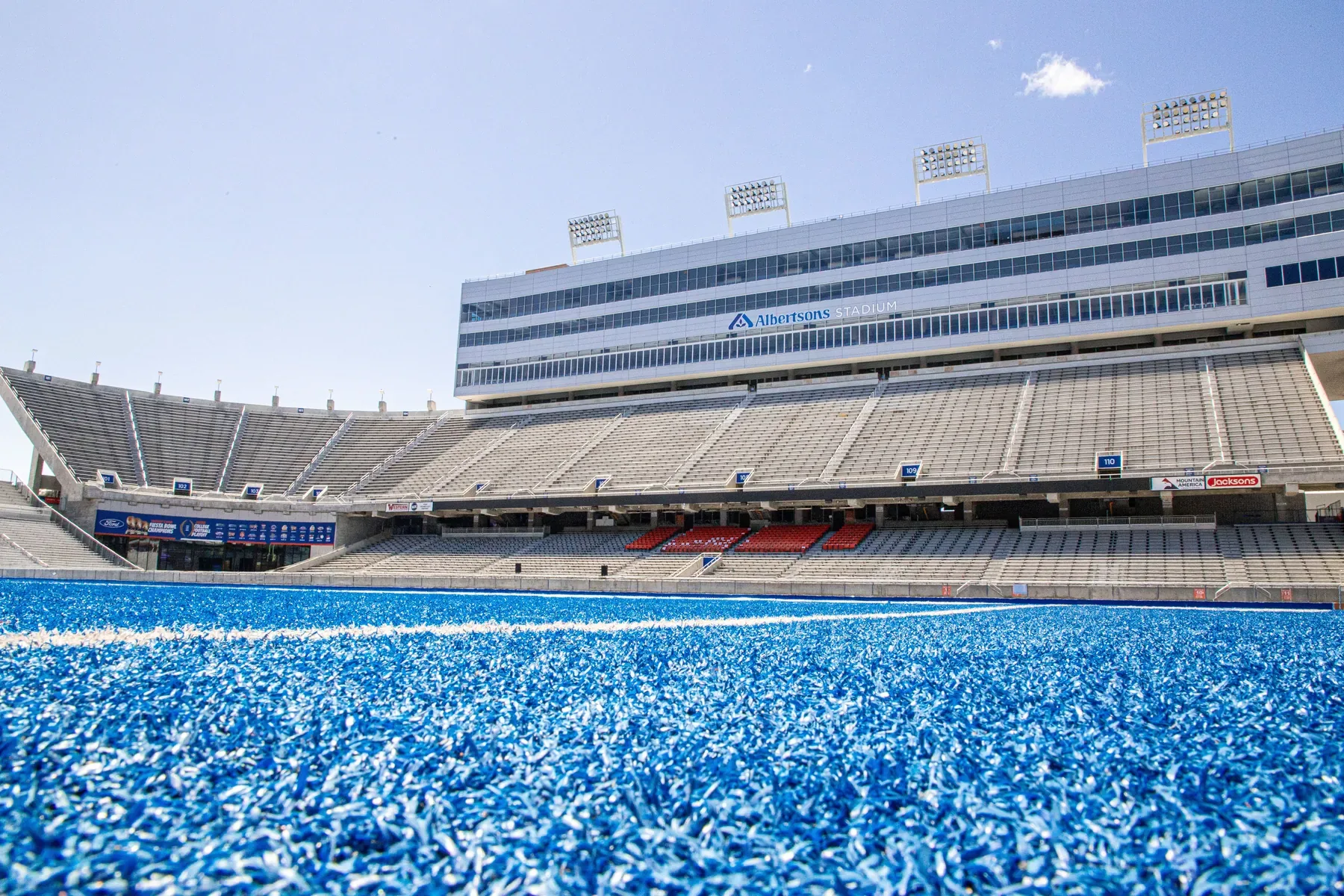
Boise State's Student Union is about 14 minutes by bike, and Albertsons Stadium, home of the blue turf, is about 12.
- Boise State Student Union 1.7 mi
- Albertsons Stadium 1.6 mi
- Idaho Botanical Garden 2.3 mi
Bown Crossing and downtown
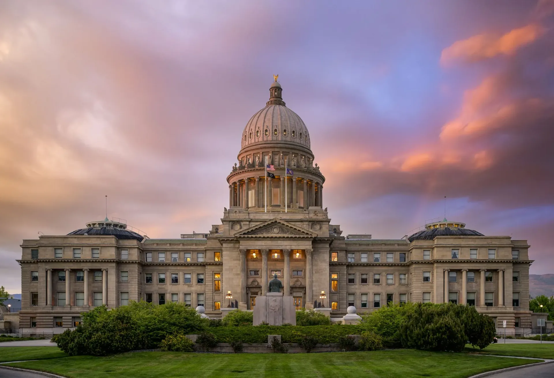
Bown Crossing, Southeast Boise's village of shops and restaurants, is a short ride east. Downtown Boise is about 7 minutes by car.
- Bown Crossing 1.8 mi
- Idaho State Capitol, downtown 2.8 mi
- Barber Park 2.8 mi
Assigned schools
2043 S Makar Ln is in the Boise School District. Boundaries can change, so confirm with the district before you buy.
Garfield Elementary
East Junior High
Timberline High
School assignments from the listing. Boundary details from the Boise School District at boiseschools.org online.
Questions about the neighborhood
What neighborhood is 2043 S Makar Ln in?
In Southeast Boise, near Boise Avenue and Pennsylvania Street, ZIP 83706. It's inside the City of Boise's Southeast planning area and the Southeast Boise neighborhood association.
How close is 2043 S Makar Ln to the Boise River Greenbelt?
About 1.2 miles, roughly a 9-minute bike ride to the nearest Greenbelt path.
Where does the Boise River float start?
At Barber Park, about 2.8 miles by bike from 2043 S Makar Ln. The float runs about 6 miles to Ann Morrison Park and takes 2 to 3 hours.
Where is the nearest grocery store?
Albertsons on South Broadway Avenue, about 1.2 miles away, roughly a 4-minute drive.
Tour the home, then walk the neighborhood
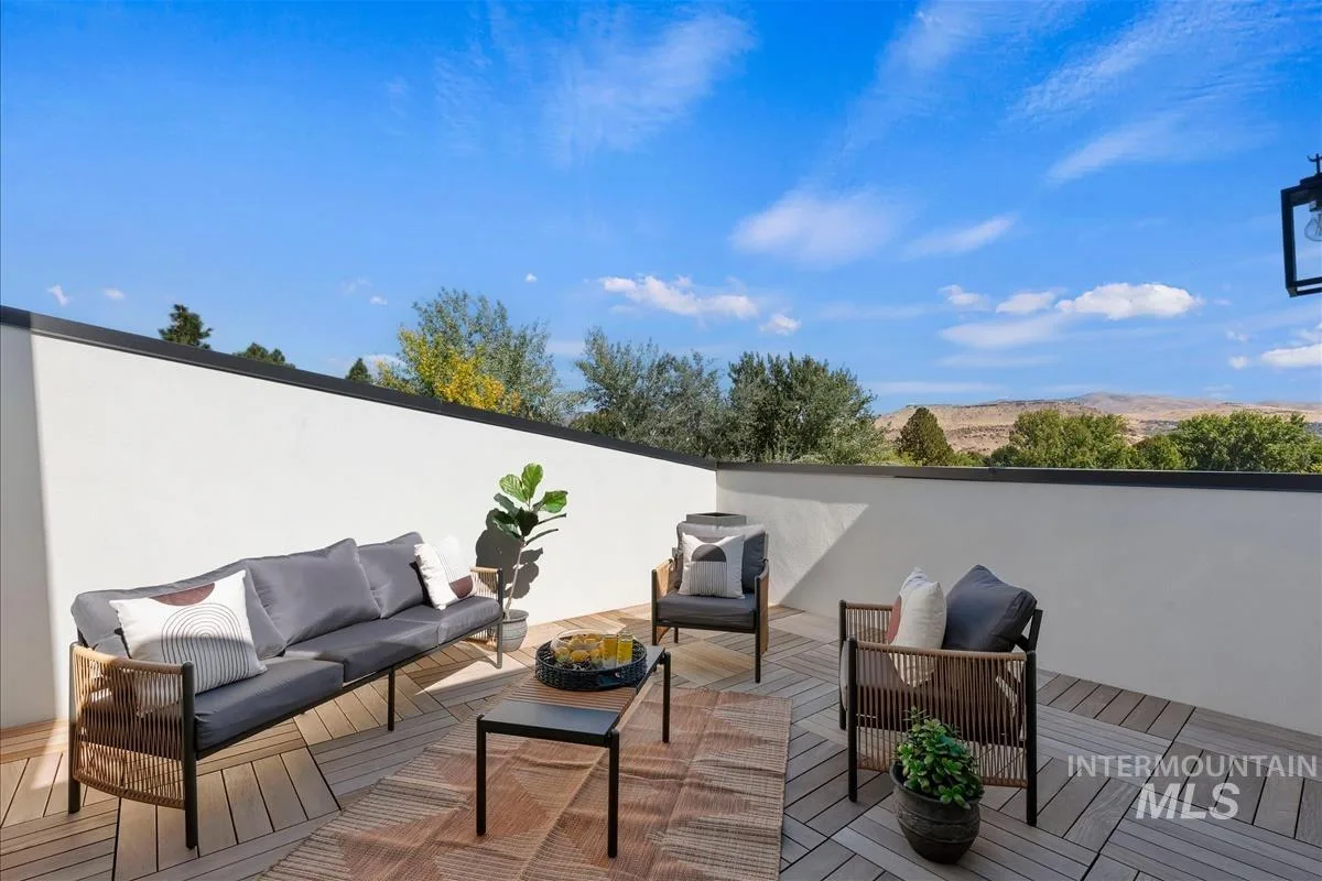
Justin Murillo will meet you at 2043 S Makar Ln for a private showing, rooftop included.