Where is Southeast Boise?
Southeast Boise is the City of Boise's Southeast planning area: about 17 square miles east of Boise State and along the south side of the Boise River, reaching past Bown Crossing and Barber Park. 2043 S Makar Ln is inside it, near Boise Avenue and Pennsylvania Street, ZIP 83706.
The river and the Greenbelt
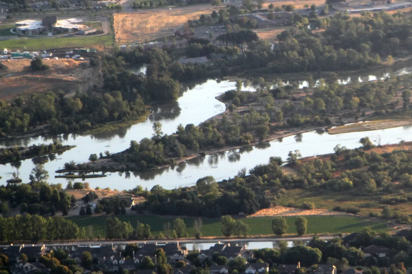
The Boise River Greenbelt is a 25-mile pathway along both sides of the river, and the nearest path is 1.2 miles from 2043 S Makar Ln, about 9 minutes by bike.
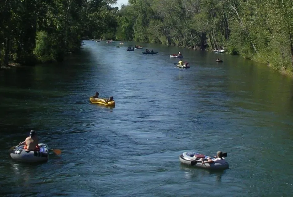
In summer, the river is the main event. The float runs about 6 miles from Barber Park to Ann Morrison Park and takes 2 to 3 hours.
The foothills
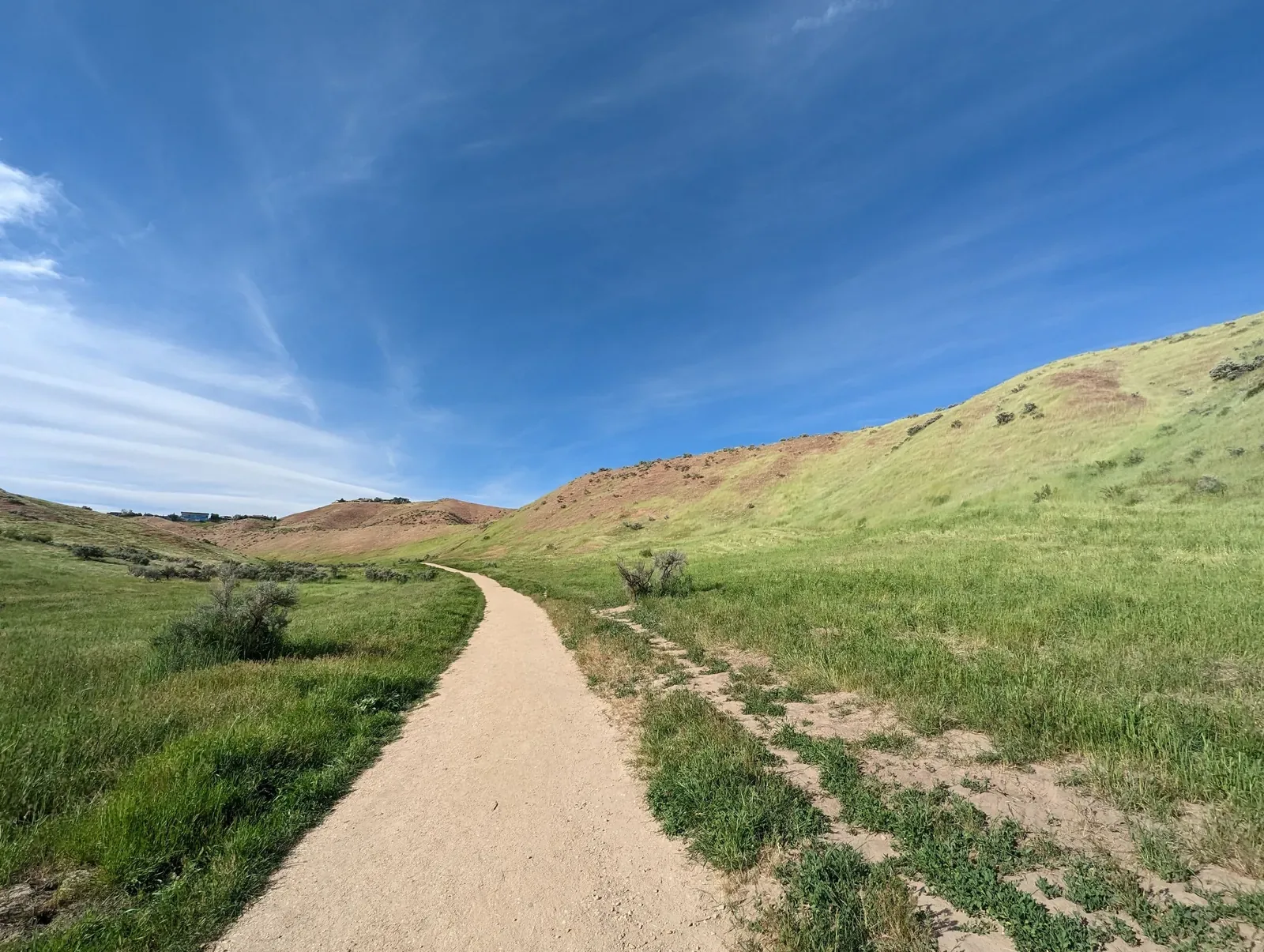
North of downtown, the Ridge to Rivers trail system covers more than 190 miles of trails for hiking, running, and mountain biking.
Boise State, next door
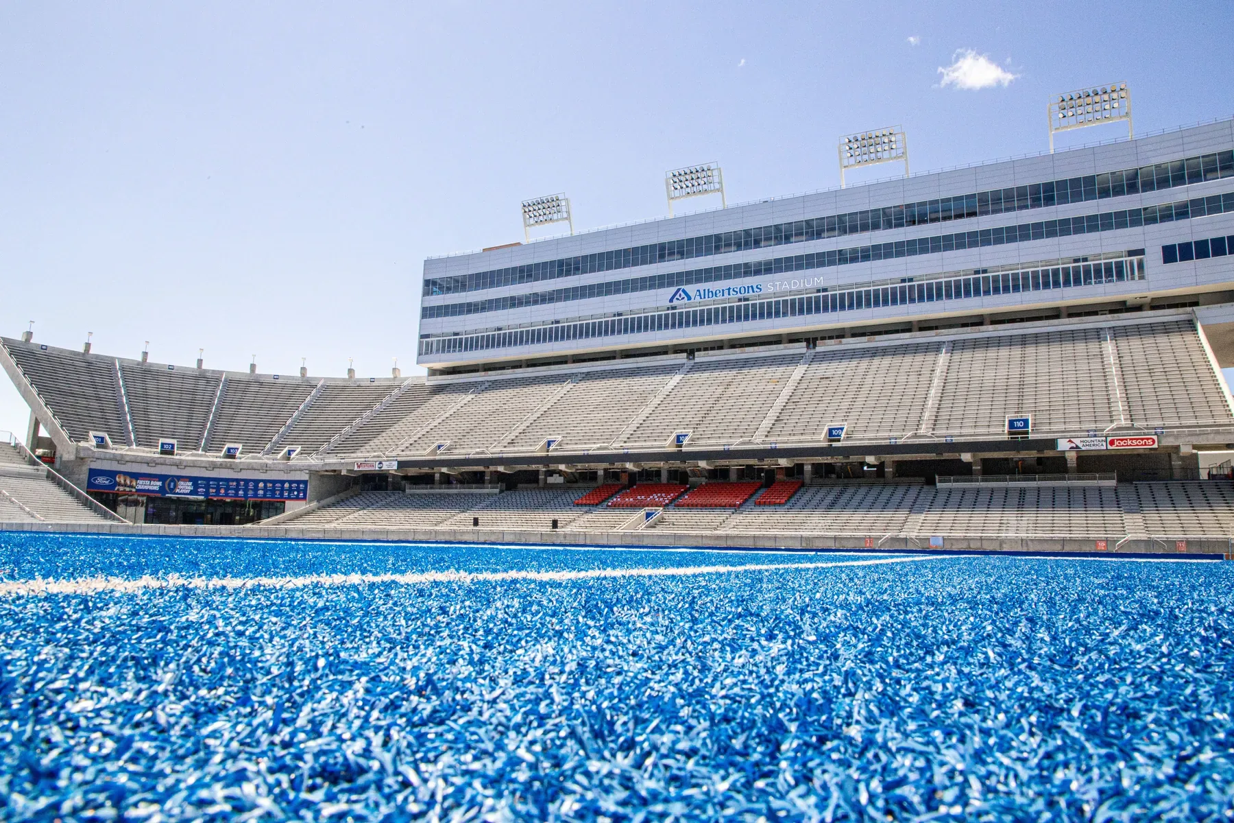
Southeast Boise sits just east of campus. From 2043 S Makar Ln, the Student Union is 1.7 miles away and Albertsons Stadium, home of the blue turf, is 1.6.
Everyday errands
- Gym on Parkcenter 0.6 mi14 min walk
- Albertsons on Broadway 1.2 mi4 min drive
- Whole Foods Market 1.9 mi5 min drive
- Fred Meyer 2.0 mi6 min drive
Bown Crossing and downtown
Bown Crossing, Southeast Boise's village of shops and restaurants, is 1.8 miles east, about 13 minutes by bike.
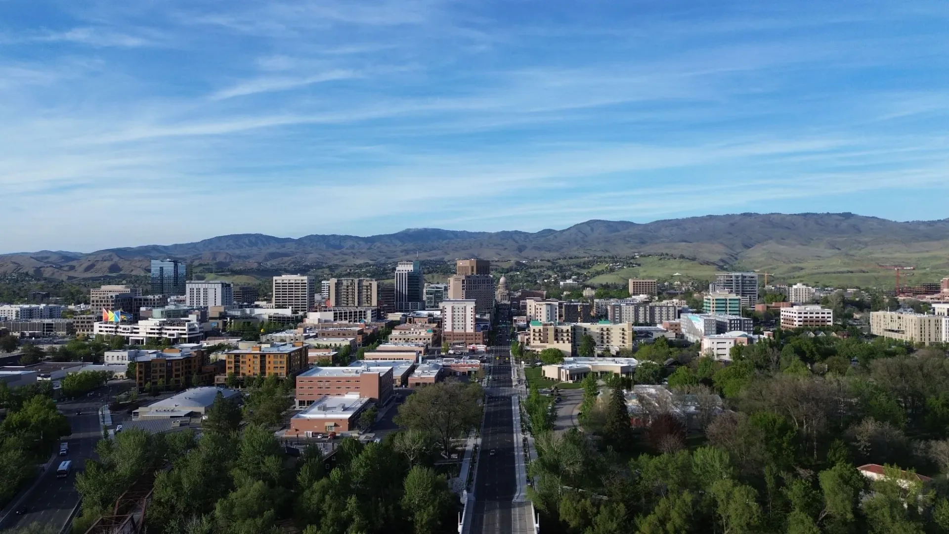
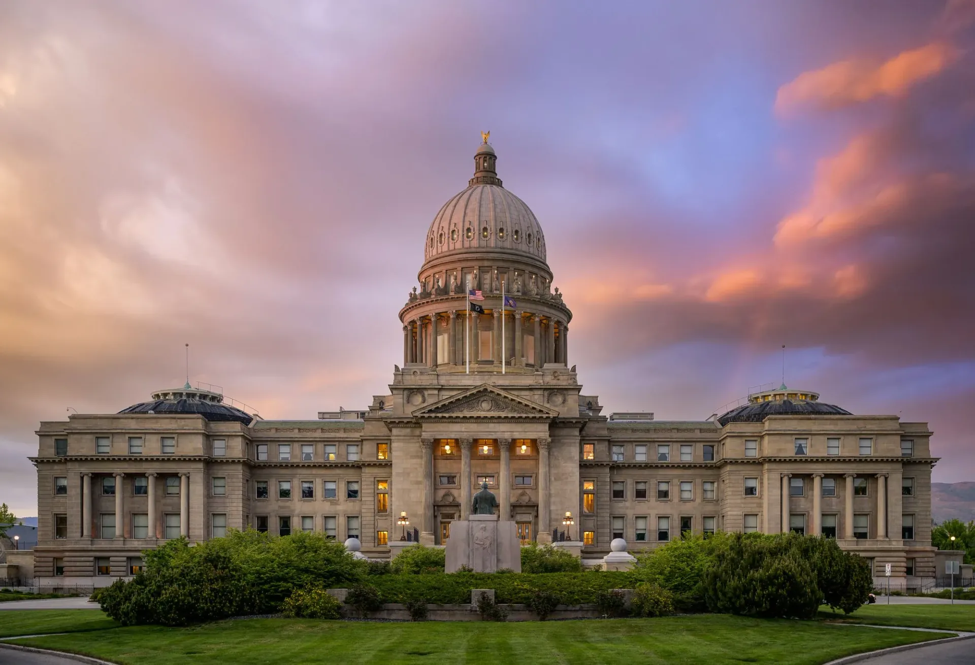
Downtown goes the other way: the Idaho State Capitol is 2.8 miles away, about 7 minutes by car.
Homes in Southeast Boise
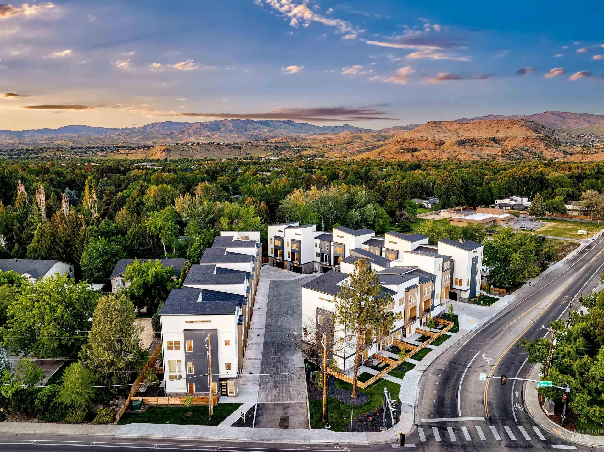
Boise23 is one of the newer communities here: 23 three- and four-story townhomes near Boise Avenue and Pennsylvania Street, with the first homes built in 2025.
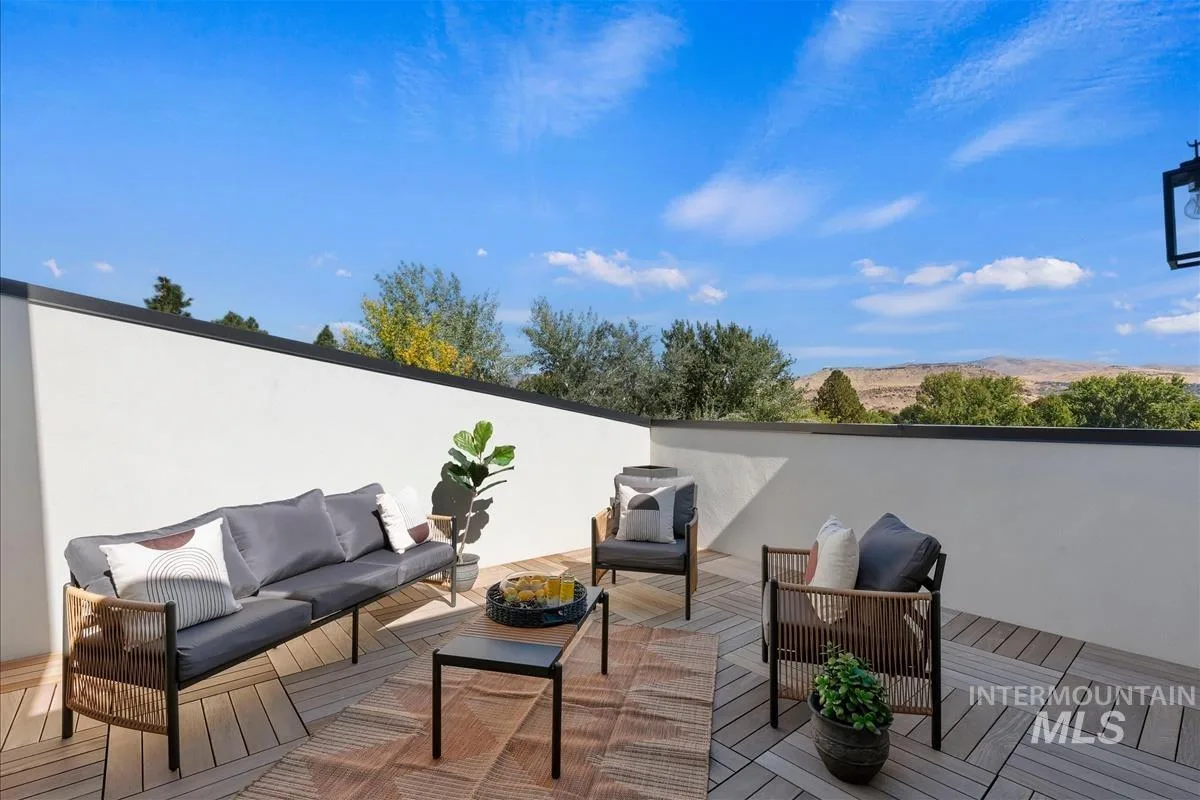
2043 S Makar Ln is one of them, with 3 bedrooms, 4 bathrooms, a rooftop patio, and a 2-car garage, listed at $694,500. See what you get.
Schools
2043 S Makar Ln is assigned to Garfield Elementary, East Junior High, and Timberline High in the Boise School District. Boundaries can change, so confirm with the district.
Sources: City of Boise GIS (Southeast planning area), City of Boise Parks and Recreation (Greenbelt), Bureau of Land Management (Ridge to Rivers), Ada County Parks and Waterways (Boise River float). Distances from OpenStreetMap routes, October 2026.